
Unusual Rain Forecast for Boise: How Much Will Fall?
- account_circle Tyo Murty
- calendar_month Wednesday, 15 Jul 2026
- visibility 12
- comment 0 comment
- print Print

info Adjust the font size of this article to get the best reading experience.
Unusual Weather Conditions Expected in Boise
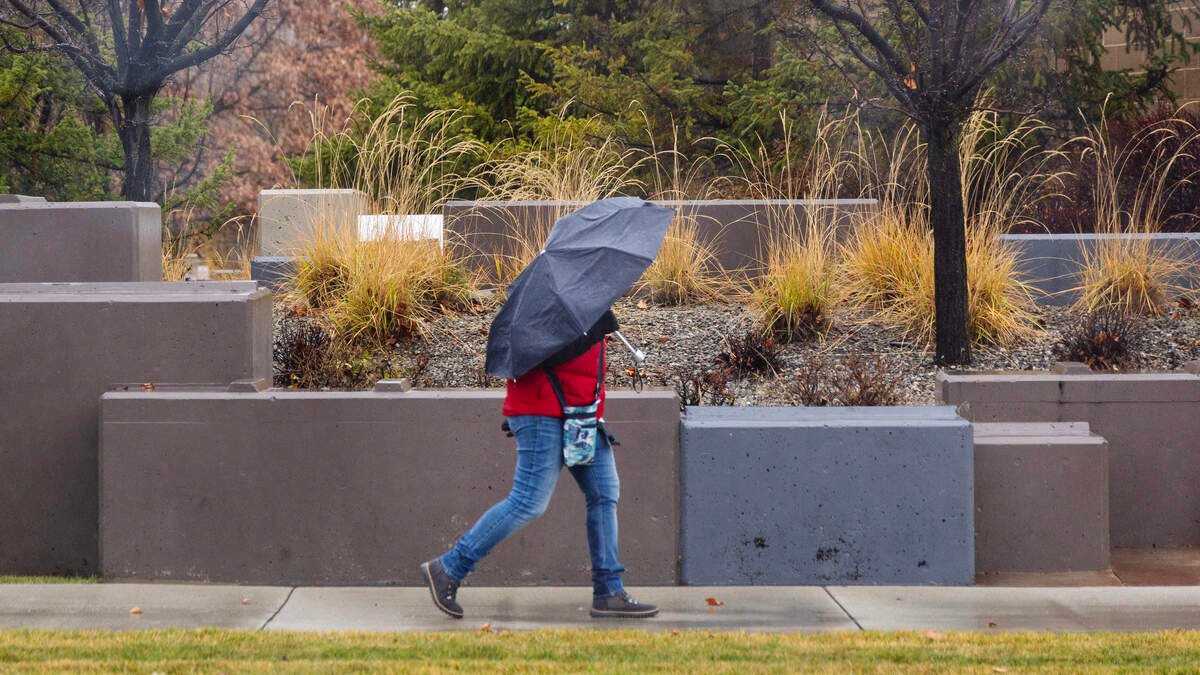
Boise is set to experience a unique weather event on Tuesday, with rain, lightning, and strong wind gusts expected due to monsoonal winds bringing significant moisture into the atmosphere. According to Jackson Macfarlane, a meteorologist with the National Weather Service office in Boise, this system is quite unusual in terms of its wetness.
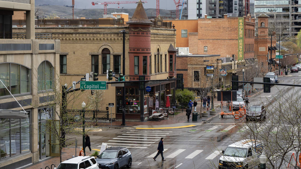
Thunderstorms are anticipated to develop further west in the Owyhee range later in the afternoon on Tuesday, July 14. A band of precipitation is currently moving through the lower Treasure Valley, from Ontario to Caldwell. Macfarlane explained that steady rain showers will continue throughout the day because of the high levels of atmospheric moisture.
Rainfall Expectations for Boise
The National Weather Service’s current forecast for Boise indicates that winds of 8 to 10 mph will be present in the Treasure Valley on Tuesday. However, gusts could reach up to 40 mph during the afternoon. There is a possibility of stray showers moving into the Treasure Valley, accompanied by winds and lightning.
Some areas may receive close to a half-inch of rain throughout the day due to “spotty” showers. Macfarlane noted that the storm system is widespread, with some core thunderstorm developments. Since the air is holding a lot of moisture, precipitation can occur sporadically across the region.
The Role of Atmospheric Moisture in Weather Patterns
Precipitable water is a measure of the total amount of water in the air that could fall as precipitation at any given moment. As of Tuesday, Boise’s precipitable water level was recorded at 1.2 inches, which is roughly double the typical amount for the area. Korri Anderson, a meteorologist with the National Weather Service based in Boise, explained that increased precipitable water can lead to higher humidity and the potential for heavy downpours.
Risk of Flash Flooding in the Claremont Fire Burn Scar
Rain in areas affected by wildfires can increase the risk of debris runoff and flooding. The Claremont Fire burn scar may see a half-inch of rain, according to Macfarlane. He emphasized that even half an inch of rainfall in an hour on burn scars can pose a minor risk of flash flooding and debris flows.
Macfarlane highlighted that burn scars and steep terrain are particularly vulnerable. Any shower over these areas will require attention.
Forecast for the Upcoming Days
Tuesday is expected to be the coldest day in the forecast, despite a high temperature of 92 degrees. Macfarlane mentioned that temperatures will rise quickly after the storm system passes.
On Wednesday, July 13, Boise is forecasted to be sunny and hot, with a high near 98 degrees and a low around 66. Thursday, July 16, will bring a high near 103 degrees, with an overnight low dropping to 67. From Thursday onwards, temperatures are expected to consistently hover around the 100-degree mark.
Highs will remain around 100 degrees heading into the weekend, while lows will be in the mid-60s. After the strong wind gusts on Tuesday, milder winds of up to 8 mph will continue through Boise until Wednesday night.
- Author: Tyo Murty


















At the moment there is no comment